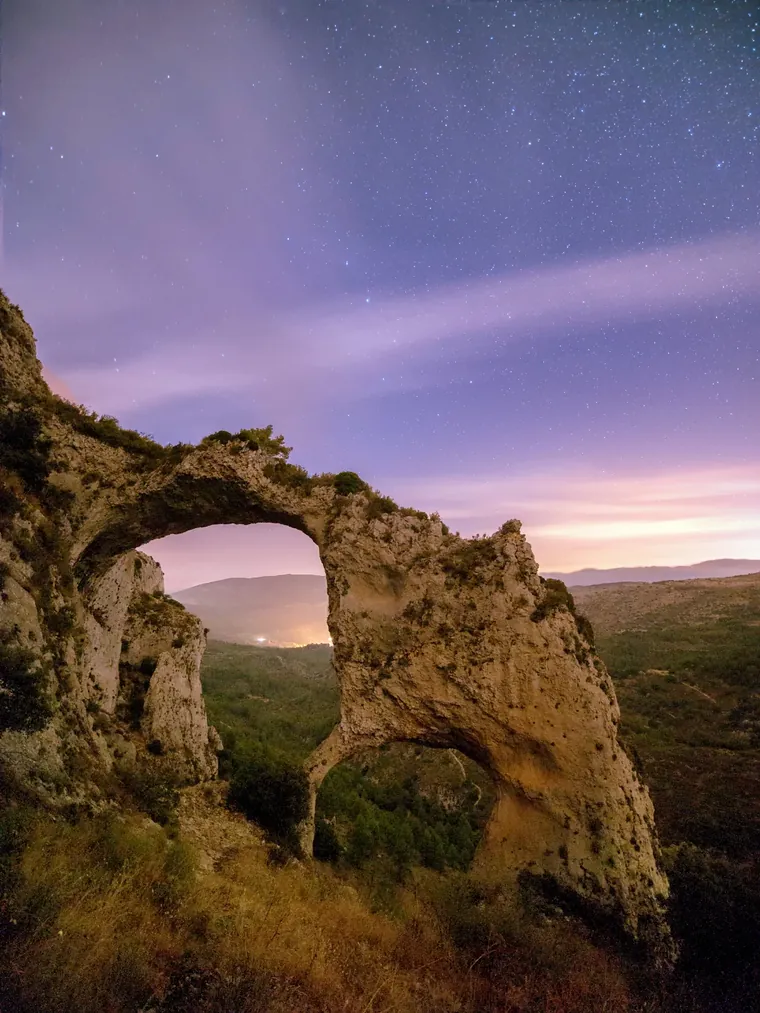
The Els Arcs stone arches at night under a sky full of stars

Walking in Castell de Castells & the Costa Blanca Mountains

Marked trails from the village streets, two vast stone arches, prehistoric rock art and the Serrella ridge above it all. A local guide to the best walks.

If you like walking, bring your boots. Castell de Castells is one of those places where you don't have to drive an hour to find the mountains: the Serrella and Aixorta ranges rise straight from the village, the marked trails start from the streets themselves, and the paths are waymarked in white and yellow. A walking holiday on the Costa Blanca doesn't have to mean staying on the coast; from here you walk straight out into the hills, from gentle half-days to serious mountain routes.

Walks from the village
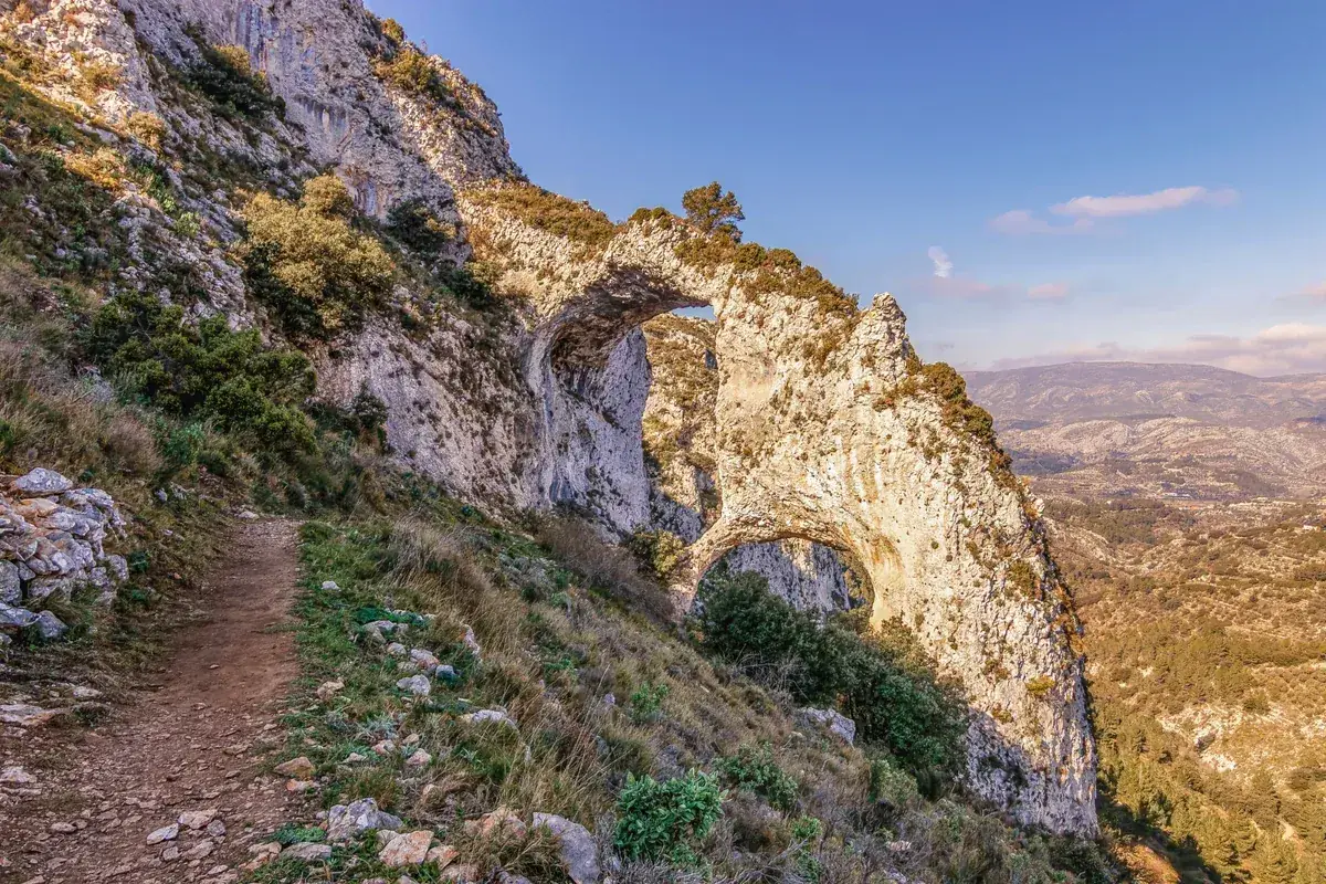
The Els Arcs arches from the trail, the valley opening beyond
Easy morning

Els Arcs, the stone arches

~8 km2–2.5 hrs~150–170 mEasy to moderate

The walk everyone should do first. Els Arcs are two enormous natural arches of limestone, formed by erosion over thousands of years on the northern face of the Serra de l'Aixorta, and protected as a Municipal Natural Park since 2005; the surrounding area holds prehistoric rock art too. The signed PR-CV 151 circular starts at the Pla d'Aialt on the CV-752 towards Tarbena, with parking and an information panel. Go early in summer; there's little shade up there.
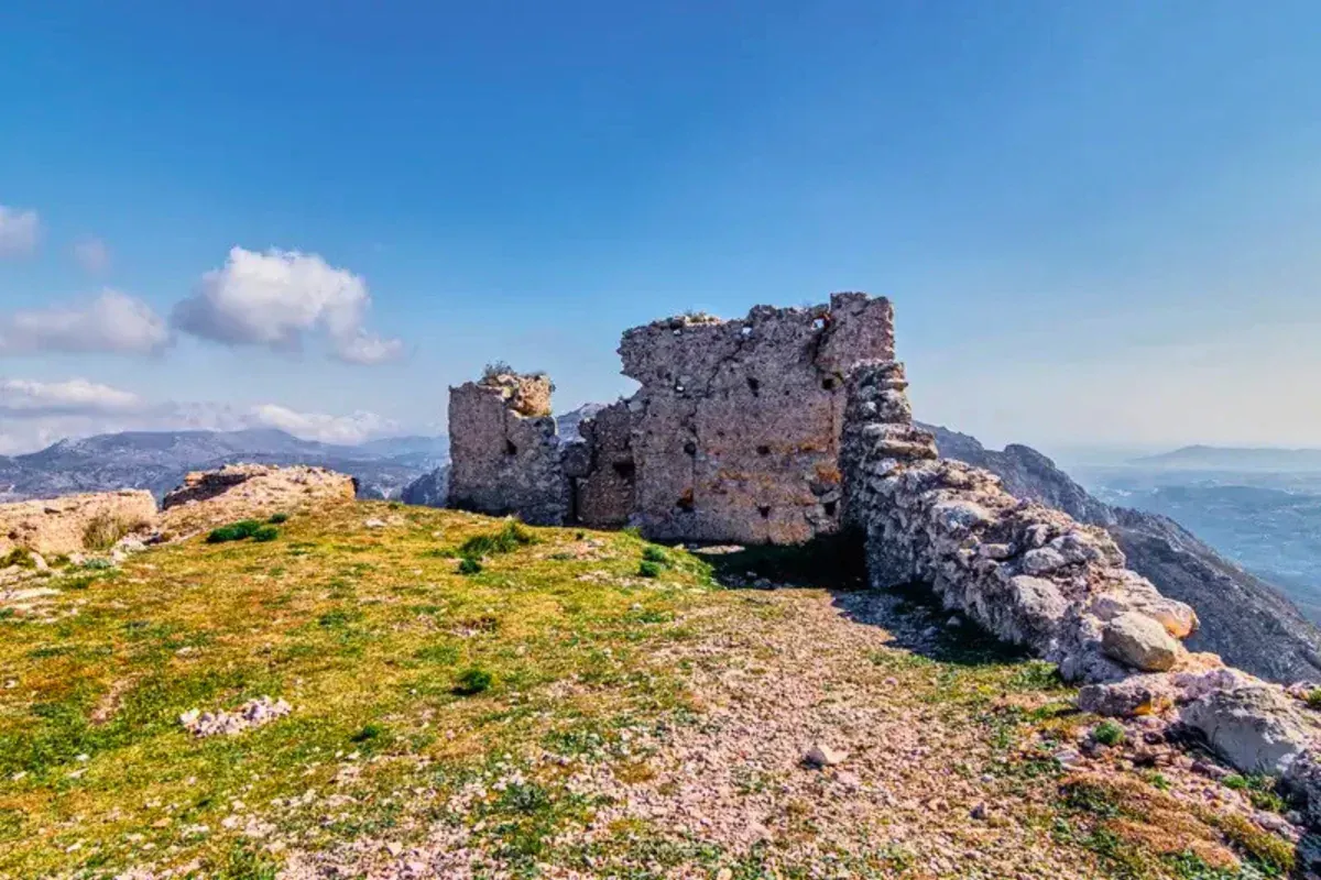
The ruined walls of El Castellet on the summit, the Marina Alta stretching away behind
Proper day out

El Castellet, the old castle

9.6 km~3.5 hrs473 mLow difficulty

This one climbs to the ruins of the old castle of El Castellet, perched above the village, with long views over the rooftops and down the valley. The official PR-CV 149 circular starts at the El Castellet recreation area, and you can walk up from the village and link into it. Steady rather than steep.
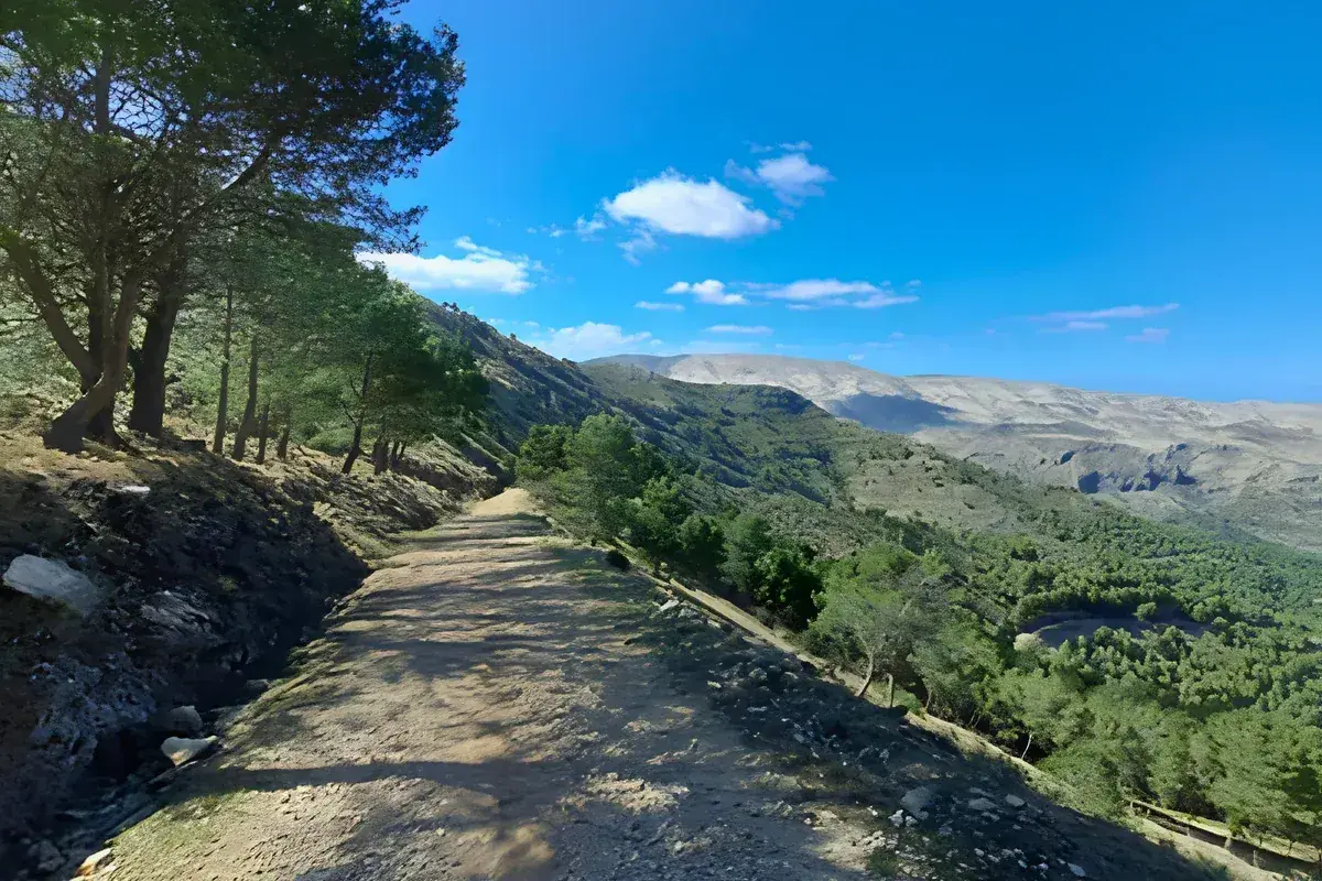
The old track through the pines above the valley on the springs walk
Easy morning

Font Nova and Font de la Retura

~11–13 km3–4 hrsModerate

A quieter walk through the old water routes above the village, passing the Font de la Retura and Font Nova before looping back through the mountain landscape. Parts of the route follow the PR-CV 168, with old paths, springs and traces of the village's agricultural past. Lovely in spring when the terraces are green.
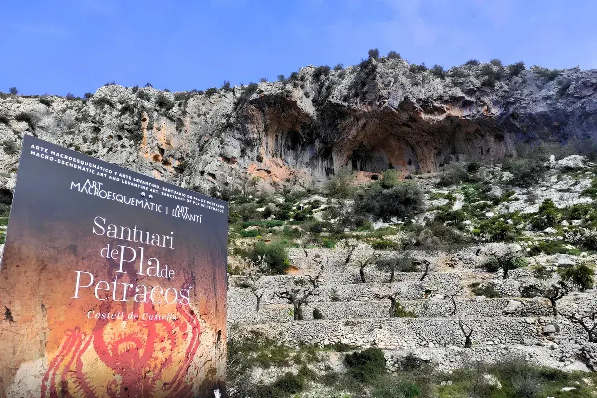
The Santuari de Pla de Petracos sign beneath the rock shelters and almond terraces
Proper day out

Pla de Petracos, the rock art sanctuary

~14 km~4 hrsModerateOut and back

Walk from the village museum down the old valley route to the Pla de Petracos sanctuary, where prehistoric paintings survive in a series of rock shelters beneath the limestone cliffs, explained on interpretive panels. The art dates back around 8,000 years and forms part of the UNESCO World Heritage listing for the Rock Art of the Mediterranean Basin. It feels a world away from the coast, particularly outside the main summer season. Drivers can shortcut it: the sanctuary sits 5 km from the village with parking nearby.

Big mountain days
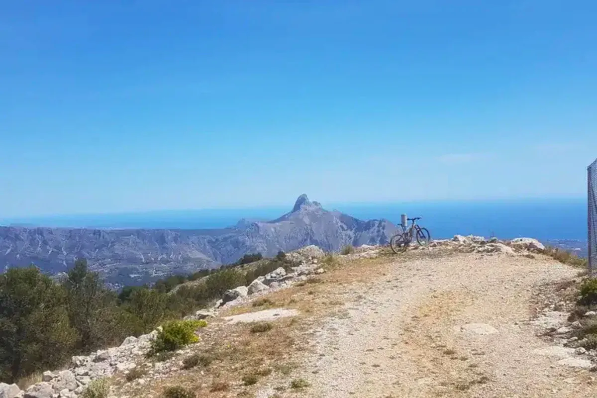
The high viewpoint on the Aixorta, the sea and the peaks of the Marina Baixa beyond
Big mountain day

Morro Blau and the Aixorta

~22 km7–8 hrs~600 mHard

The big local route: the PR-CV 150 traces the high ground of the Aixorta above the village, a genuine full day out with the best ridge views in the area. Save it for settled weather and fresh legs.
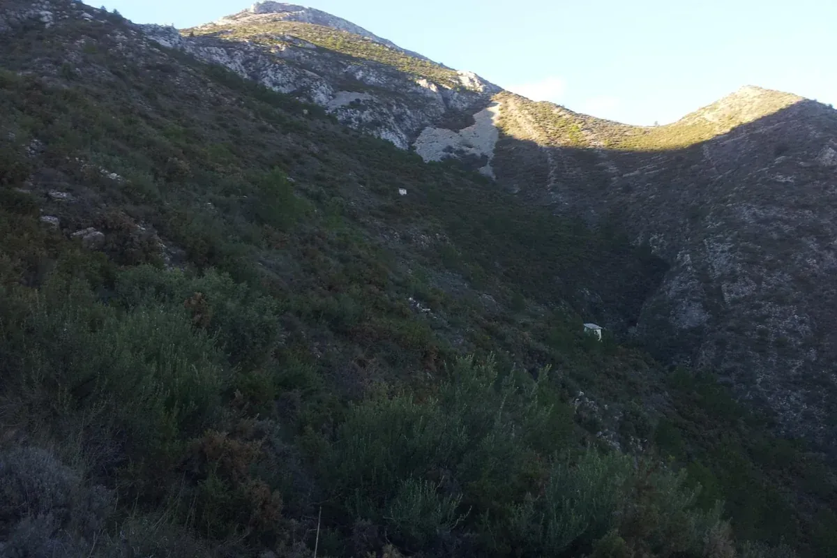
The upper slopes of the Serrella rising towards Malla del Llop
Big mountain day

Malla del Llop, the Serrella summit

~15–16 km5–6 hrs~1,100–1,200 mMountain route

The highest summit of the Serrella at 1,361 m, and a proper mountain day rather than a long walk. The route from Castell de Castells climbs through the Castellet country towards Malla del Llop, with rough and in places exposed ground near the summit. Good weather, proper boots and a head for heights are essential; from the top the whole Marina Alta is at your feet, sea included on a clear day.
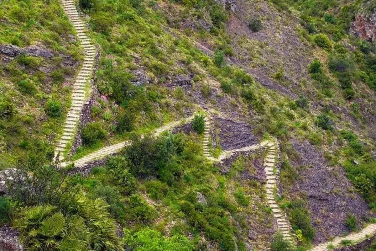
The zigzag stone steps of the Vall de Laguar climbing the hillside
Worth the short drive

The Vall de Laguar 6,000 steps

~15 km6–7 hrs~6,600 stepsHard

The famous one: the PR-CV 147, thousands of old stone steps zigzagging into the Barranc de l'Infern gorge and out again. They call it the cathedral of hiking on the Costa Blanca, and your knees will call it other things. Utterly worth it, best outside high summer, about half an hour's drive from the village, and a packed lunch from our kitchen goes down very well at the bottom.
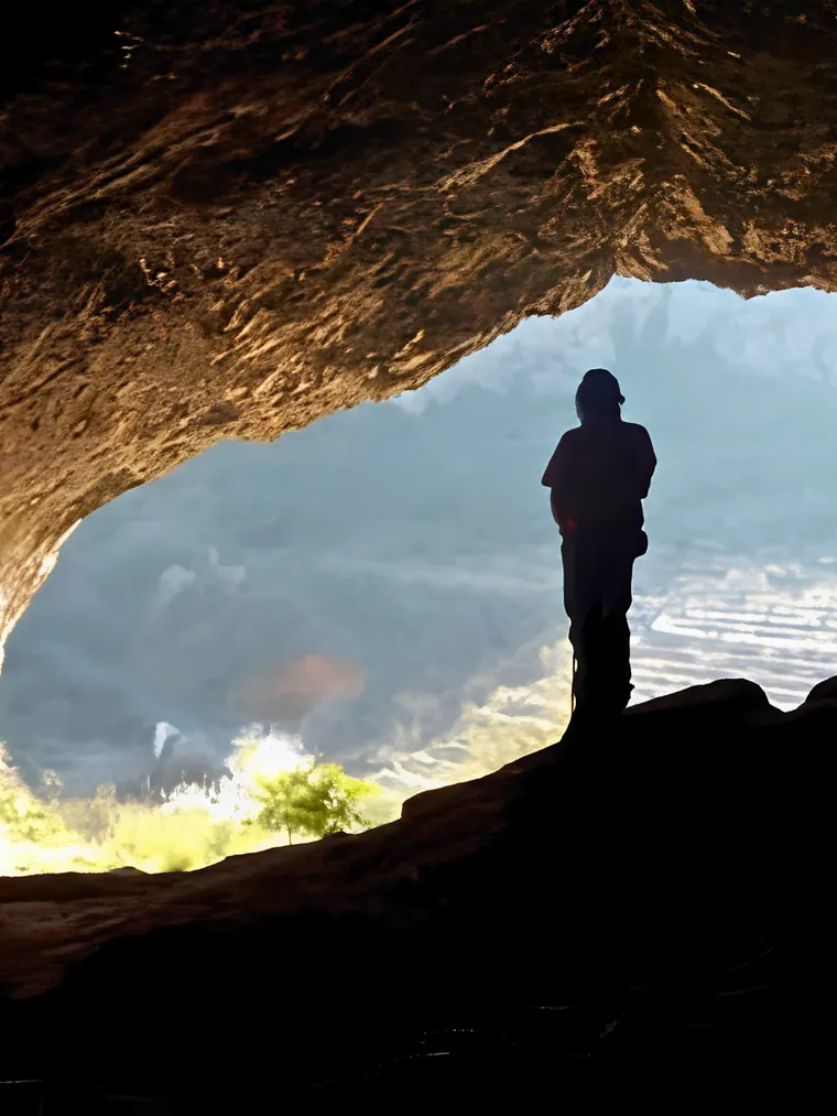
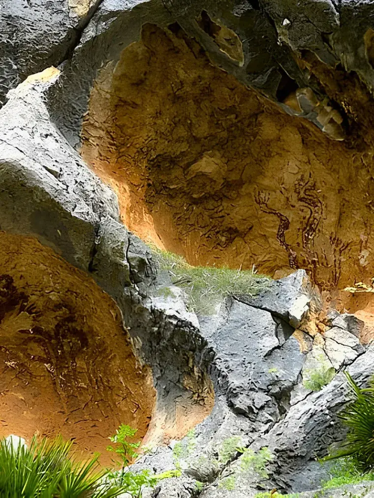
Standing inside one of the Pla de Petracos rock shelters, looking out over the valley The prehistoric paintings in the ochre rock shelters at Pla de Petracos

8,000 years ago, people were walking here too

The mountains around Castell de Castells have been walked for a very long time. At Pla de Petracos, prehistoric artists painted figures and symbols in the limestone shelters around 8,000 years ago. Today the site forms part of the UNESCO World Heritage listing for the Rock Art of the Mediterranean Basin, and you can walk to it from the village. There's more on the village itself, its history and its fiestas in our short guide to Castell de Castells.

When to walk here

Late winter and spring bring almond blossom, green terraces and wildflowers, with comfortable temperatures for the hills. Autumn runs it close, with clear air and settled, warm days. Winter is quietly brilliant for walking, cool mountain days with superb visibility. Summer works if you start early, carry more water than you think you need and keep to the shorter routes. And after heavy rain, check conditions before heading into barrancos or steep mountain paths.

Janette says

First morning

Els Arcs

The one everyone should do first.

When it's warm

The springs walk

Old water routes and greener ground.

For history

Pla de Petracos

Rock art older than the pyramids.

Winter legs

Malla del Llop

The summit, on a clear cold day.

Feeling ambitious

Morro Blau

The full ridge, boots and daylight required.

The mountains look closer than they are

Don't judge a walk by kilometres alone. A 10 km mountain walk can be considerably harder than a 15 km valley walk, once the heat, loose limestone and climbing add up. Tell me what sort of day you're after and I'll point you towards the right route.

Before you leave

The short list that saves long days.

  • Proper walking shoes or boots
  • More water than you think you need
  • Sun protection, even in winter
  • A downloaded map or route on your phone
  • A layer for the exposed ridges
  • Food for the longer routes
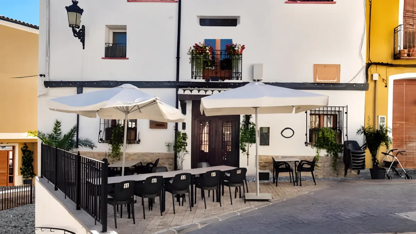
The terrace of Casa Blanca under its parasols, tables waiting on the cobbled square

After the walk

Back at the village, this is where we come in. Casa Blanca is a Spanish bar and kitchen as well as a place to stay, so you can finish a walk with a cold cerveza and some tapas without getting back in the car. Three quiet double rooms upstairs, breakfast included before an early start, and packed lunches made to order for the trail.

Walking in Castell de Castells: common questions

Is Castell de Castells good for walking?

Genuinely, yes. The village sits inside a network of officially waymarked PR-CV trails, with the Serrella and Aixorta mountains rising straight from it and Els Arcs, two great natural rock arches, close by. Routes range from easy two-hour circulars to full mountain days.

Can you walk straight from the village?

Yes. Marked routes lead out from the village streets, including the springs walk and the link up to El Castellet, while others, like the Els Arcs loop, begin at a signed trailhead a few minutes along the CV-752.

How difficult are the mountain walks?

There's a full range. Els Arcs is easy to moderate and fine for most fitness levels, El Castellet and Pla de Petracos are steady half-to-full days, and Morro Blau and Malla del Llop are genuine mountain routes with rough ground. The Vall de Laguar steps are a hard day for experienced legs.

When is the best time to walk on the Costa Blanca?

Late winter through spring, and autumn, are ideal; winter here is often superb, with cool, clear days made for the mountains. In summer, start early, carry plenty of water and choose shorter or shadier routes.

Do I need a map or GPS?

The PR-CV routes are waymarked, but I'd still recommend carrying a downloaded route or map on your phone. Mountain coverage can be patchy, so don't rely on having a signal when you need it. The official routes are all on Wikiloc.

Where can I eat after a walk?

At ours. The bar and kitchen at Casa Blanca serve tapas, simple plates and cold drinks to everyone, guests or not, and we'll make you a packed lunch for the trail if you order it the evening before.